Guide to Governador Valadares, Brazil
5 February, 2014- Smooth, reliable climbs, with 27ºC at cloudbase
- Perfect your coring skills over rolling green hills
- Go from January to April for smooth, reliable thermals
- A superbly equipped and maintained launch site
WHY GO?
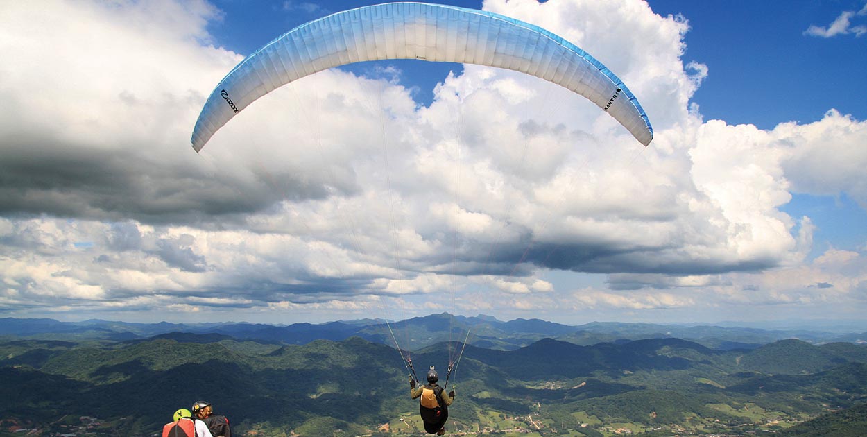
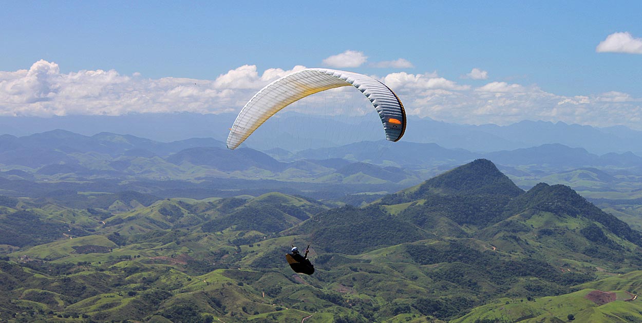
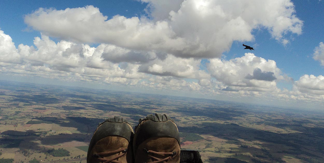
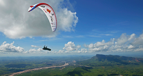
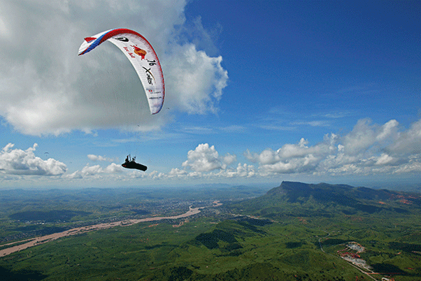
Fly in shorts and T-shirt at cloudbase, in smooth thermals over beautiful country.
WHERE IS IT?
WHAT’S IT LIKE?
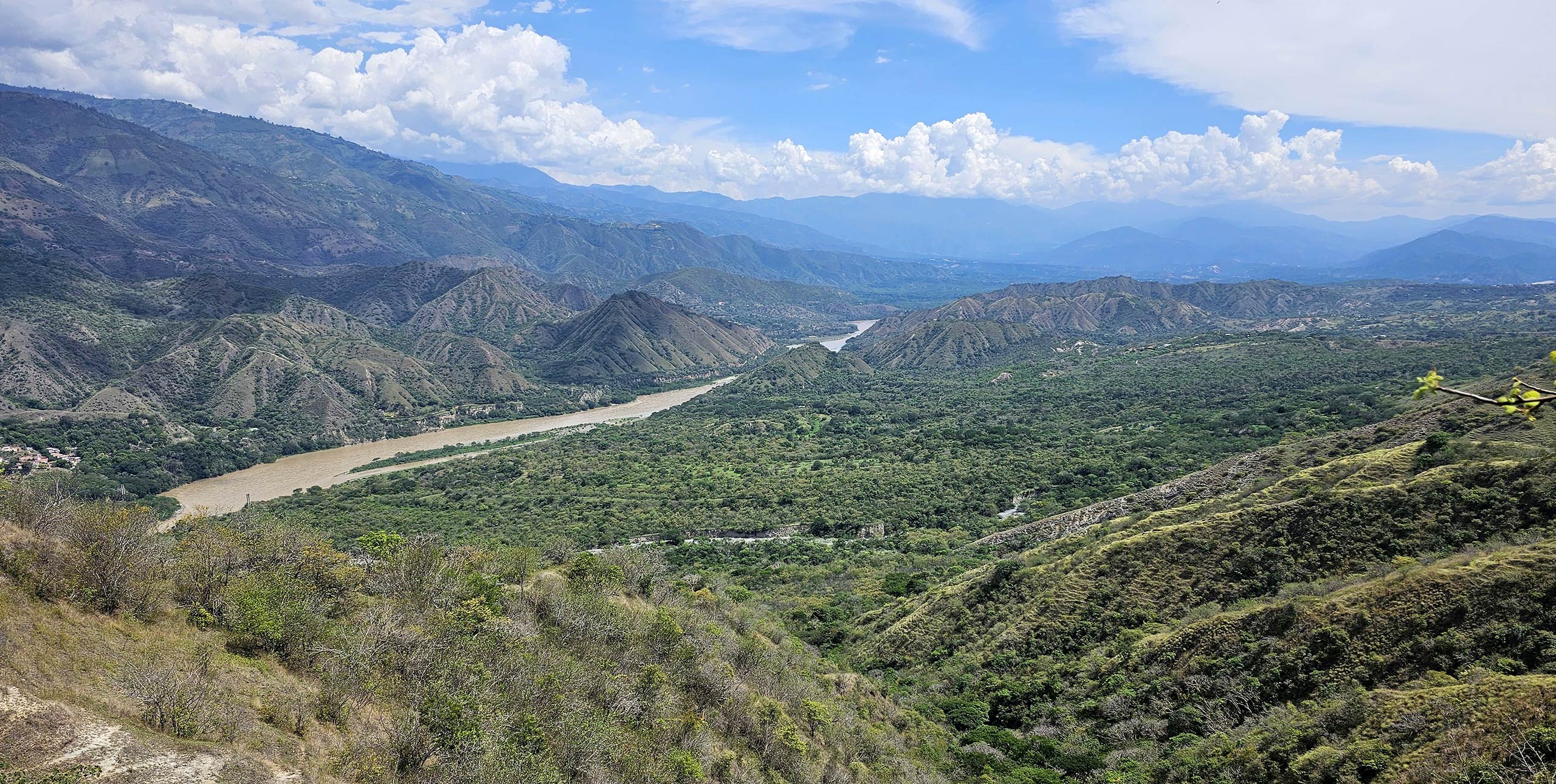
Governador Valadares speaks for itself. Smooth, reliable climbs to a warm cloudbase, over a rolling landscape of green hills that extends as far as the eye can see and the pilot can fly. A great place to perfect coring skills and speed-to-fly with other free flyers or in friendly local comps.
Pico do Ibituruna (911 m) is the only take-off in GV. There are large grassy launch slopes on both sides of the summit ridge, with a cobbled road between, leading to two cafés and the toilets. The wind is often very light and it gets hot, so keep protected. A club bus goes to launch from the centre of town, plus there are several private shuttle operators.
[youtube id=”CvcWJmA3F3I” w=”602″]
FLYING CONDITIONS
Thermals are light and often in the same place; you just have to get the cycles right. It’s good to get up to launch about 11am and take off from about 12 noon to 1pm.
WHEN TO GO
January to April for the best conditions, with smooth and reliable thermals and classic XC days. Days gets stronger through the year with conditions peaking in August and September when climbs can reach 8m/s.
ALTITUDE
Cloudbase: 1,500m to 2,300m
Launch: 911m
Landing: 150m
HANG GLIDER ACCESS
Hang gliders can go on the buses, and there are ramps on both sides of the summit.
MUST BE FLOWN
The 100km milk run is south, down the road towards Caratinga. Once you’ve cleared the pull of Ibituruna, which is the highest mountain for miles around, you settle into a steady pattern of flatland XC flying.
Climb over towns, small hills and land features either side of the road. Head over Engenheiro Caldos, then Dom Cavati. At the big road junction, get to base, which will be at its highest, and it’s an evening cruise from Inhapin to Caratinga.
DANGERS AND ANNOYANCES
There’s an airport west-south-west of GV. Don’t fly over the river unless you’re landing in the official field, Via Dapas in GV; even then you must stay less than 300 m above the field and not fly over the town.
Also, don’t scratch low in front, or in the steep valleys leading up to the main cliff face. If you get flushed after launch, fly out with as much height as possible to work the fields or road.
ACCOMMODATION
All sorts: from four-star to cheap sweatboxes and stylish B&Bs. There are also companies that offer accommodation and transport packages for pilots. There are plenty of places to eat at all prices.
GUIDES AND COURSES
Many international guides run trips here. Local and expat pilots also offer packages. Two local operators are www.xcbrazil.com and www.gvfly.com.br.
TAKE THE FAMILY
GV is not great for the family. Although there are private clubs and pools that welcome pilots and partners, non-flyers risk becoming bored after a few days.
RAINY DAYS
Pilots head for the shopping centres or there are local waterfalls to swim in.
WEATHER INFO
Wifi is everywhere, and the local TV stations give good forecasts with clear pictures. It can overdevelop, and it’s important to keep an eye on the clouds if they’re growing.
GETTING THERE
GV has a small airport with flights to Belo Horizonte and onward connections to Rio and Sao Paulo. The best way in from the big cities is by bus: cheap and comfortable overnight, they arrive into the centre of town early morning.
CONTACTS
www.xcbrazil.com
www.gvfly.com.br


