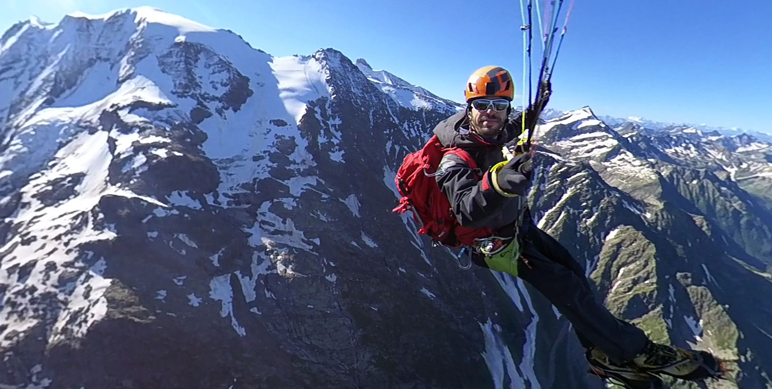
Update 3 July 2025: In July 2025 it was revealed that Eliya Zeymmour had been faking tracklogs and flight data for at least three years. Read the full story here. We have left this post live for historical accuracy and because it now informs that ‘Fake Flights’ story
Chamonix-based paraglider pilot Eliya Zemmour has published a free online guide to some of his favourite hike-and-fly tours in the Mont Blanc area.
Featuring great maps and advice for high-level summits including Mont Blanc (4,808m) herself, to lower-level hikes Eliya says, “The website is not, and will not be, commercial. Just a small gift to our community.”
As well as a point-by-point to climbing and flying from Mont Blanc summit itself, the website includes hike-and-fly touts to the Dome de Miage (3,673m), the Refuge de Plan Glacier (2,690m), Le Luisin (2,786m), Dome des Glaciers (3,592m) and Mont Blanc du Tacul (4,248m).
The Mont Blanc massif offers some of the most accessible high Alpine terrain in Europe, with the Aiguille du Midi cable car able to take pilots from the valley floor to 3,777m.
From there, the summit of Mont Blanc du Tacul, a 4,248m Alpine summit, is accessible within half a day of snow and glacier walking. The flight down to the valley floor at 1,035m is a 3,000m or 10,000ft descent.
Fred Souchon, an alpine guide, member of the Chamonix mountain rescue service and paraglider pilot based in Chamonix, reviewed the website and its suggestions and said the content was all good.
Many of the routes do take pilots into high altitude zones where snow and ice experience and tools are needed. Mont Blanc is mountaineering territory and should be approached as such, with ice axe, crampons and ropes for moving together over glaciers where necessary.
Air space restrictions do apply in some areas and at some times of year – notably in July and August when the mountain is at its busiest.
Explore the website and potential of hike and fly on Mont Blanc at hikeandflymb.com


