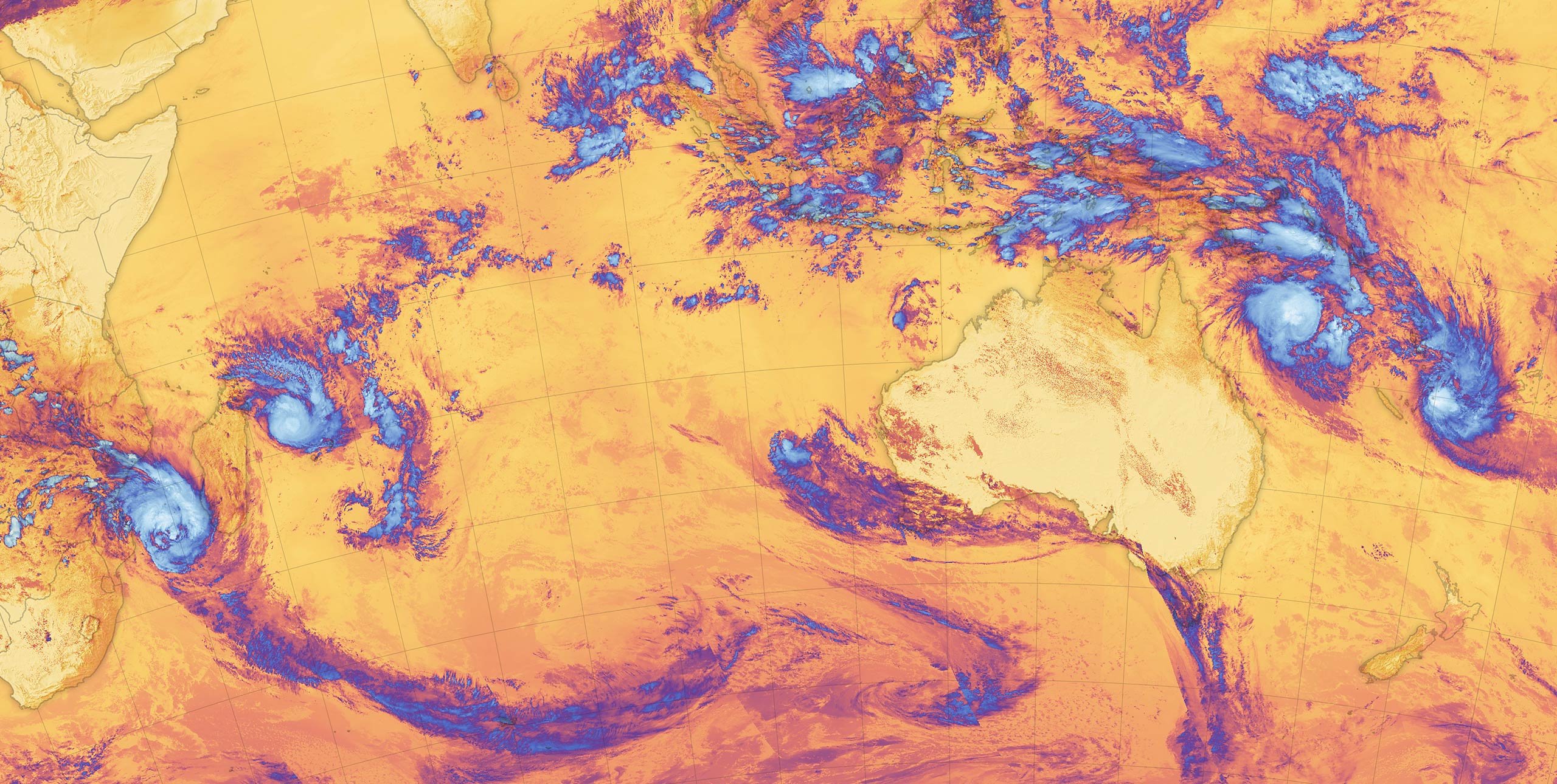
Hunched forward, gripping the wheel, I peer through the swishing blur of wipers and wet windscreen. Rain sweeps down from the leaden sky in sheets, torrents of water thrumming on the roof of my aging family hatchback. Violent gusts shake the gumtrees and scatter leaves, twigs and small branches onto the road. ‘Alfred’ is coming. I survived six years in North Queensland, where cyclones are a yearly probability. Now I’m hydroplaning through the suburbs of Brisbane. Every registration plate on every car carries the tagline, “Queensland – Sunshine State”.
It’s hard to believe we are ever going to fly again. For over a week now, the news agenda has been dominated by the swirling dartboard in the Coral Sea and the predicted path that has it smashing into one of the most densely populated areas of Australia. Supermarket shelves are bare, sandbags are being filled, and trampolines are tied down with industrial strength straps. Brisbane hasn’t done this for over fifty years.
The internet chatosphere is frenetic. At one end of the spectrum weather-beaten northerners pour scorn...