Guide to Roldanillo, Colombia
1 December, 2021- One of South America’s friendliest countries
- Flatland flying, tropical mountains, hills and jungle
- Best time is December-March and July to September
- Easy flying for new pilots, but also a strong competition venue
WHY GO?
Consistent flying with friendly thermals and even friendlier people.
WHERE IS IT?
WHAT’S IT LIKE?
Officially recognised as one of the top-10 friendliest countries in the world, Colombia’s flying capital is Roldanillo. It has hosted a bevy of international comps, including the Paragliding World Cup Superfinal and the FAI Paragliding World Championships. And it’s all down to the super-reliable conditions.
The Colombian tropical climate is influenced by trade winds so it’s nothing if not consistent. The agricultural Valle de Cauca with its unfenced farmland and extensive road network create a retrieve system that invites you to make the most of the go-anywhere conditions.
The thermals are generally light, apart from a rowdy area over the quarry to the south, and aside from the Pacific seabreeze, a pilot’s biggest concern will be finding the nearest bodega after landing.
Because of the early starts here there is not a huge late-night scene. Jeeps (called Willy’s) for the three possible take-offs leave from the town square (Parque Central) starting about 8.45am, usually from the southeastern corner outside the Juice Palace. They are arranged by locals or long-stay pilots and then leave when full.
Launches include Los Tanques (highest, and known as the Competition Launch), La Tulia and Pico. To get to La Tulia and Pico you can take local public transport and then walk, to get to Los Tanques you need to go in a Jeep.
FLYING CONDITIONS
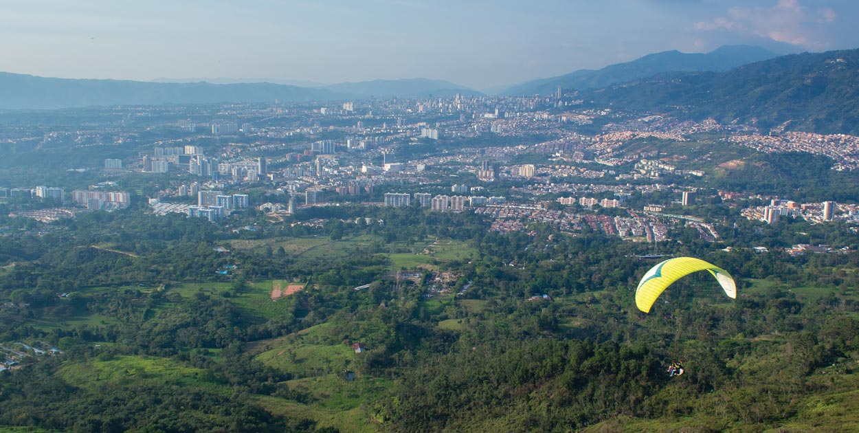
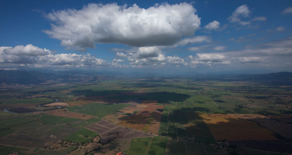
The take-offs sit above the town of Roldanillo in the valley floor and face east across the wide-open Valle de Cauca.
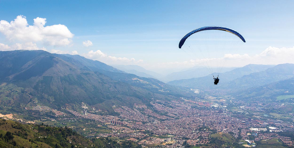
The Cauca Valley is a political region as well as a geographical feature. It lies in the west of Colombia, in the middle of a chain of tropical mountains and hills that run the length of the country. One border stretches out to touch the Pacific coast while the jungle-covered mountains rise to above 2,000m.
The flying arena takes in the flatlands of the valley and the mountains and hills that border it. This gives a perfect playground for paragliding – pilots launch early on east-facing slopes and fly the hills until the flatlands out front start to work around 1pm. Then they hop across the flatlands to the west-facing mountains on the other side of the valley to keep flying all day.
Flying here starts early. The thermic breeze hits launch around 9am and flying typically start around 11am. Once the flatlands start working around lunchtime pilots should start to move out into the valley and onto the range of hills on the eastern side, as the daily seabreeze starts to push in from the Pacific – only 70km away. The advancing seabreeze means things can turn turbulent in the mountains on the west side of the valley.
The meteo wind is usually light from either the north or the south.
Overall, typically there are no strong winds and the thermals are often gentle making the flying almost perfect. However, Rolda’s reputation for superlight wafting thermals is somewhat overplayed: changing weather patterns in recent years mean stronger – but still good – conditions.
The topography of the valley makes it perfect for flying cats-cradle tasks with interesting route finding possibilities. After take off fly along the western mountains, out into the flats, over to the east hills and then choose your direction, north or south. Easy logistics make getting back to town with cheap public transport a breeze.
Later in the day the Pacific sea breeze can often produce a strong westerly wind with gusts of 25‐30km/h. This only penetrates 2‐3km into the valley, allowing pilots full use of the eastern side. Getting all the way back to Roldanillo can be difficult in this wind, but lots of landings on the way make it relatively stress free.
WHEN TO GO
December through March and from July to September. The summer season is best, but even in the winter (rainy) season 60% of days here are flyable.
ALTITUDE
Launch: 1,800m
Landing: 950m
Cloudbase: 1,800m‐2,300m. The moist agricultural climate of the valley reduces the tendency for over development within the flying area.
HANG GLIDER ACCESS
Yes. There is a dedicated take off for hang gliders, just 15 minutes from the centre of town on the way to La Tulia.
MUST BE FLOWN
Cats-cradle type flying is the norm. Out-and-returns and triangles to land back in Roldanillo, although these can be thwarted by the afternoon Pacifico. Flights of 100km are achievable most days in season, with around 200km the record.
DANGERS AND ANNOYANCES
The main thing to understand is the daily cycle of the wind and the influence of the Pacific seabreeze, which pushes in every day from the west. In the morning there can still be a backwind (westerly) on launch, and you should wait until there is an established upslope breeze to launch. There are accidents every year from people trying to launch too early or with a backwind. This is not the Alps – the air out front can be very turbulent if the wind is west.
Once established, the thermic conditions on the east-facing slopes make the mountains safe and easy to fly. This is when you can fly north or south for a couple of hours. Watch for the advancing seabreeze though pushing in from the west. This brings turbulent air as it travels across 70km of rolling hills. Move out to the flats and across to connect with the mountain slopes on the other side before the seabreeze arrives.
Other hazards include: Be careful of power lines below launch – big and obvious; there is an airspace limit of 9,000ft to the southeast and 10,000ft to the north; be careful of climbing out over the back and then not being able to make it back to the landing field.
Lastly – stay away from the sugarcane fires. These may look like easy thermal markers but in reality they are diesel-powered infernos with extremely rough air. You do not want to throw your reserve above a blazing field of petrol-soaked sugarcane stubble. Ignore them (it’s cheating anyway).
Check official foreign office advice before you go as some border areas of Colombia are still no-go zones for travellers. Covid-19 related travel restrictions may apply from your country – check before you book your flight.
ACCOMMODATION
Hotels, bed-and-breakfast and out-of-town fincas are available, starting at €15‐30 a night.
TAKE THE FAMILY AND RAINY DAYS
Kiteboarding on Lake Calima is just 90-minutes away, or take a horseback ride through the coffee plantations. Colombia is a traveller’s treasure trove.
WEATHER
XCskies.com in conjunction with www.meteoblue.com.
GETTING THERE
It’s a 60-minute flight from Bogotá to the regional airports of Pereira and Armenia. Roldanillo is a 90-minute taxi ride from both (about €40). Cali International Airport is 90 minutes by taxi or two hours by bus.
USEFUL CONTACTS
If you don’t speak at least a bit of Spanish it can help to use one of the local guiding services to help smooth the way. Cloudbase Colombia runs a hostel in Roldanillo, organises lifts to launch every day, and is recommended. It is where many independent pilots base themselves, www.cloudbasecolombia.com.
Colombia is a perfect place to join a guided tour – these typically travel north to south through the Cauca Valley taking in harder-to-reach flying sites and staying in some really interesting fincas and hotels. You will make flying friends, have fun and fly a lot. Colombia Paragliding and AirNomads Colombia are recommended. Pal Takats runs XC courses from Piedechinche, a 45-minute drive away, and is also recommended.


