Finding, tracking and flying thermals in mountains
21 February, 2013The Five Star System to assessing thermals by XCmag’s Bob Drury
Predicting where a thermal will travel after releasing isn’t a skill that requires a missile guidance system, some simple 3D terrain analysis is enough to keep you airborne. Bob Drury explains how
Once you’ve understood the factors that affect the quality of the air for thermal flying you should be able to discern the good flying days from the poor.
So instead of grabbing your glider and rushing out of the door every time the wind drops below 20 km/h or you see a fluffy cloud, you can concentrate a bit more on your family, friends and careers! But this isn’t a marriage guidance article for pilots, nor am I the best person to be advising you on your career or personal time management. This article is written to help you broaden your knowledge of thermal flying, and get more out of your sport. So sack off the job, sell your friends and family yet another “it’s going to be epic, I just can’t miss it!” excuse, and get yourself back in the air. Because this article is going to teach you how to find thermals.
Let’s get back to basics: thermals are caused because the sun heats the ground, and the ground heats up the surrounding air. Some surfaces heat up more than others, and some heat up more quickly. This is fairly academic, and even a monkey can tell a dark field from a light one.
However, despite having been into outer space more times than any of us, monkeys are crap at finding thermals and flying cross country. Why? Because it’s not knowing exactly where the thermal has come from that saves your bacon. It’s knowing the route it’s going to take to cloudbase. If you can predict the route from ground to cloud, you’ve got a much higher chance of finding the thermal.
At some point in your training you’ve probably been told about the ’syrup theory’. Take a 3D map of the terrain you fly over, cover it in syrup, turn it upside down, and the syrup will drip off from the same places that the thermals would leave the ground. This is a very accurate, if messy, way of understanding thermal routes, because thermals, like syrup, are fairly sticky.
MOUNTAIN THERMALS
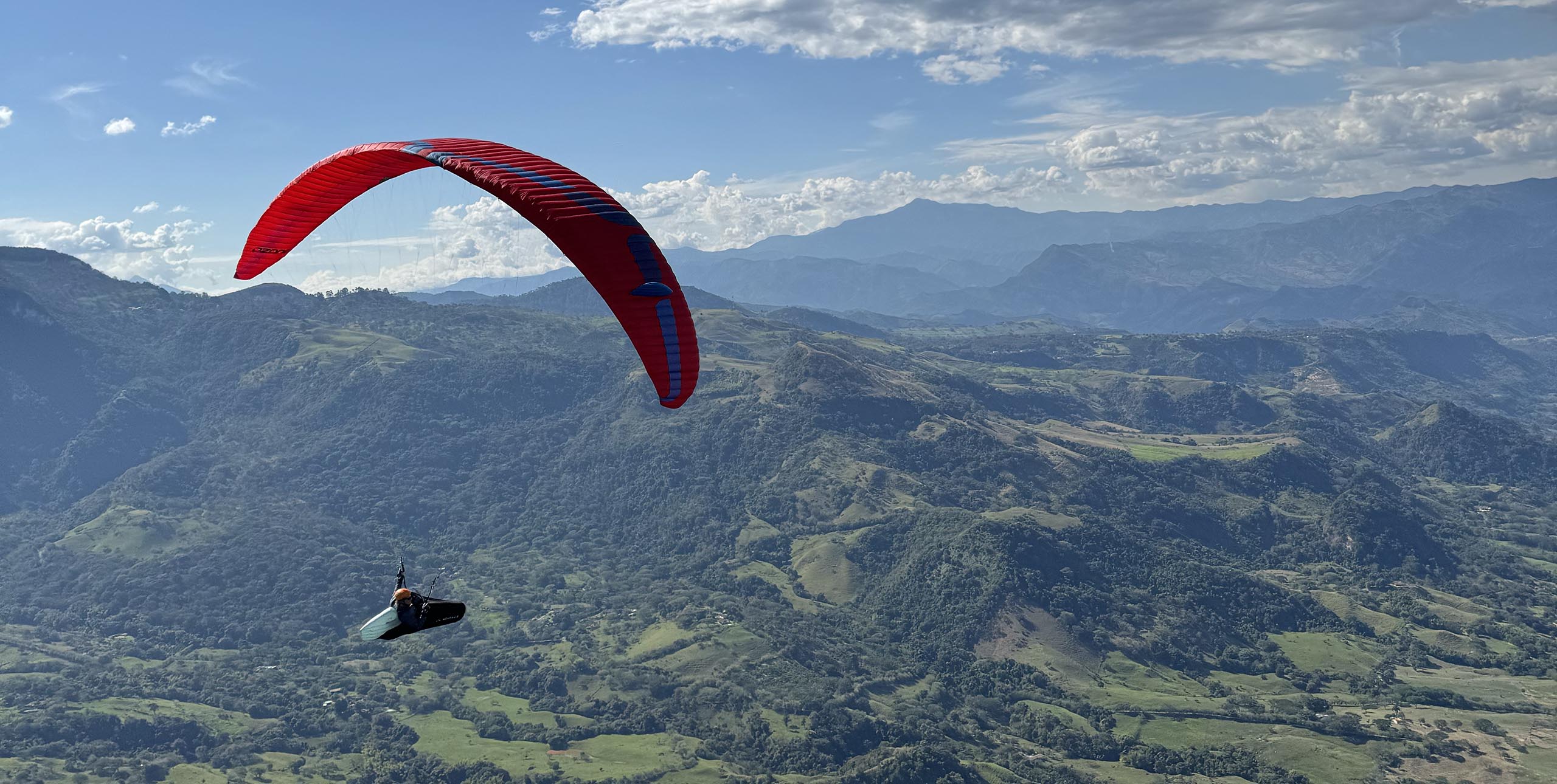
Despite their inherent buoyancy, thermals are still reluctant to leave the ground. Instead they prefer to roll along or up the landscape, until they are either triggered or run out of ground to stick to. In the mountains, thermal routes are fairly easy to work out as the valley winds and anabatic circulation tend to move the thermals along and force them up the terrain.
Low down, you should look for any big, steep slope that faces into the valley flow. Don’t worry about the thermal’s source – it’s not as important in the mountains as it is in the flats. If there’s wind on the face and a cloud above you, you’re almost certainly OK.
If the face is in the sun too, there’s even more chance of finding good lift. The slope will not only be channelling thermals up it, it will probably be producing thermals itself. This helps to pull even more air towards your slope, and increases your chances even further.
On a good thermic day with decent convection, you can often soar in the dynamic lift of the valley flow until a thermal comes along – even if you happen to be low at the time. Once a thermal does come along and collides with a face, it will start to rise, so hop in and start circling.
GETTING OUT OF GULLIES
Low down, gullies that face the wind are good places to find lift – they act like collection points for the wind and thermals that are channelled into them. Once dragged in, and climbing up a gully, a thermal will try and take the most direct and vertical route possible to cloudbase that still keeps it in touch with the terrain. So unless the gully is very steep, the thermal will soon climb out of the back of the gully and try to take a more direct route to the sky.
Often a thermal will roll up the side walls of a gully until it finds a spine to follow. Spines offer thermals an easy route to the sky, and once rolling up one, there is often no other possible route to take. The thermal will then stick to the feature until it either reaches a peak, or the feature sharply decreases in angle, causing the thermal to break free.
BREAK AWAY POINTS
However, if you are flying in a crosswind from either a valley flow or meteo wind, the thermal’s route might well take it diagonally across the face until it reaches a ’breakaway’ point. This is where the terrain turns, and causes the thermal to let go. Any sudden change in angle of the terrain along the thermal’s route is a potential breakaway point.
When you’re trying to predict a route, you should study the terrain very carefully for breakaway points. They can be hard to spot, and to the untrained eye the best breakaway point can sometimes look like the worst place in the world to go, as they are quite often not dynamically soarable.
Once high on mountainous terrain, you should try to fly over the points on the landscape that the thermals break away from. As mountains are often very complicated structures, there might well be several ’obvious’ points to go for, so check the air-flow that supplies each one. One that faces straight into the sun and the valley flow will be good, but a peak with spines and gullies that drop into two or three different valley flows will be even better.
CLOUDS CONFIRM LIFT
The more routes a breakaway point can take air from, the more likely it is to work. The clouds will prove this by showing you which points on the mountain are working better than others. The best lift will be producing the best cloud and even from a long way off you should be able to judge the points on the mountain that are working best.
Because wind likes to gather in gullies whilst thermals prefer to run up spines, the pilot who glides on to a spine stands a better chance of catching a proper ’moonbeam’. However, they do also carry the risk of finding nothing.
The pilot who glides to the back of the steep gully will almost certainly be able to soar and stay up, but is less likely to connect with a ripper that blasts them straight to base. The choice is yours, but given any height, it is generally better always to go for the spine, saving the gully for when you are really low and in need of something dynamic to wait on.
THERMALS WON’T GO DOWNHILL
An interesting point to add to your growing picture is a thermal’s inability to go back downhill. Any type of col, no matter how slight, will cause thermals to trigger. Sometimes the vaguest of cols can end up producing fantastic lift, if a decent valley wind blows over it. Particularly if the valley wind has just blown over terrain that’s producing good thermals – such as a town. This is a fantastic flat land trick too.
Finally, once you’ve identified the best thermal route and committed yourself to it, then believe in it. If you’re in the best spot to find a good thermal, there is no point in panicking and charging off to a worse place. Just sit tight and prey that a cycle with your name on it comes through and carries you out. Only move if you can definitely reach a better place with enough height to climb, or if you see a definite sign of good lift like another glider climbing.


