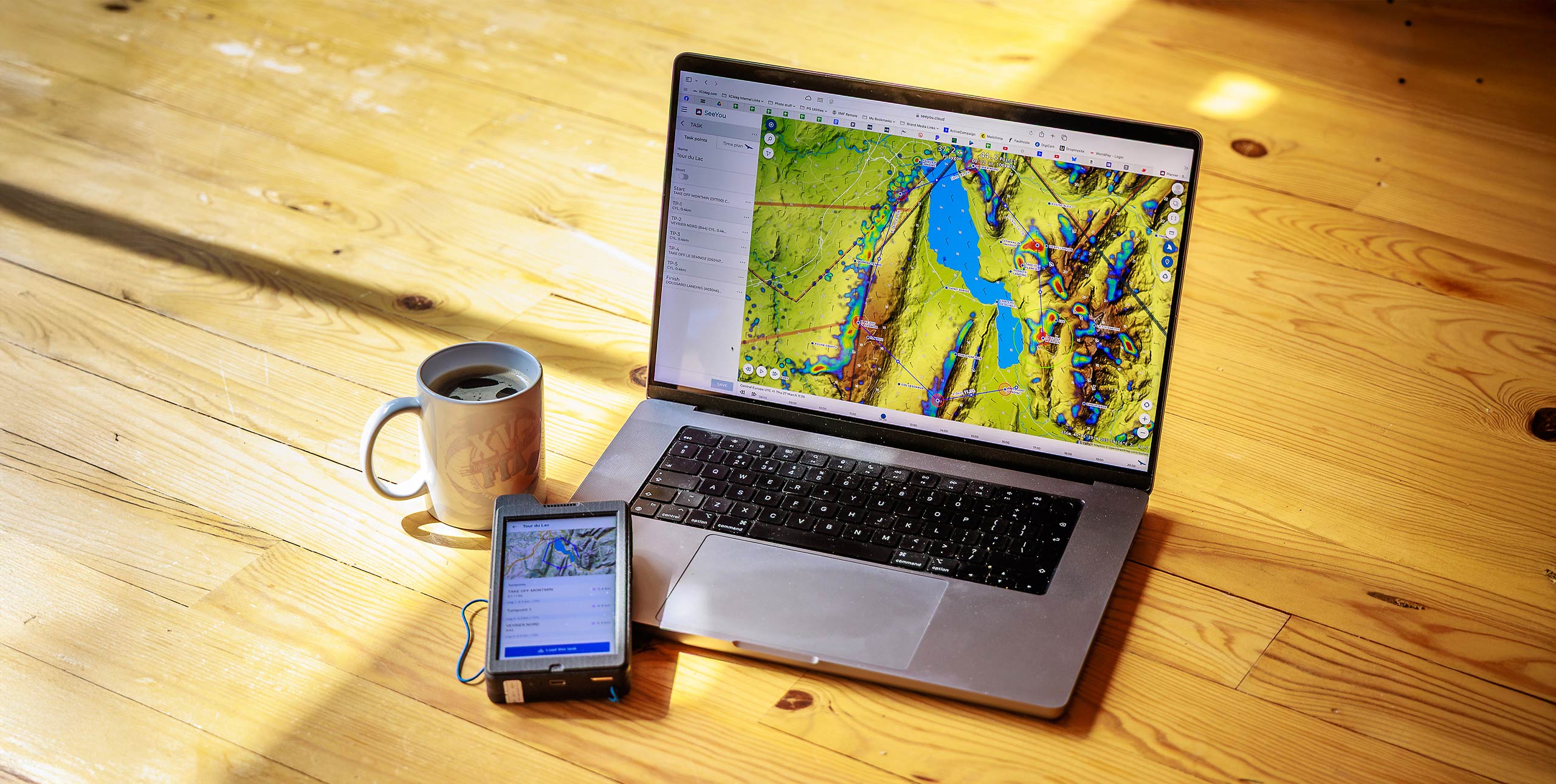
Back in the day pilots would head to the hill on the strength of a half-decent weather forecast on the evening news – but not anymore. Soaring forecasts, thermal maps and XC tools make planning your XC flight much more involved. The technology also allows you to expand your horizons and raise your game. But how do you know where to start, and what to do?
1. Identify good XC conditions
Start with one simple overview weather site you can rely on. I like Windy.com. Block out the week, removing rain, wind and directions for which you have no viable site options.
This leaves you with a few days in the week. Your work or family obligations will probably remove some of these, so you’re left with only one or two to analyse.
2. Use a soaring forecast
You need to check the ‘side-view’ of the weather....


