Guide to Gangtok, India
18 February, 2014- Fly one of the Himalaya’s ‘secret kingdoms’
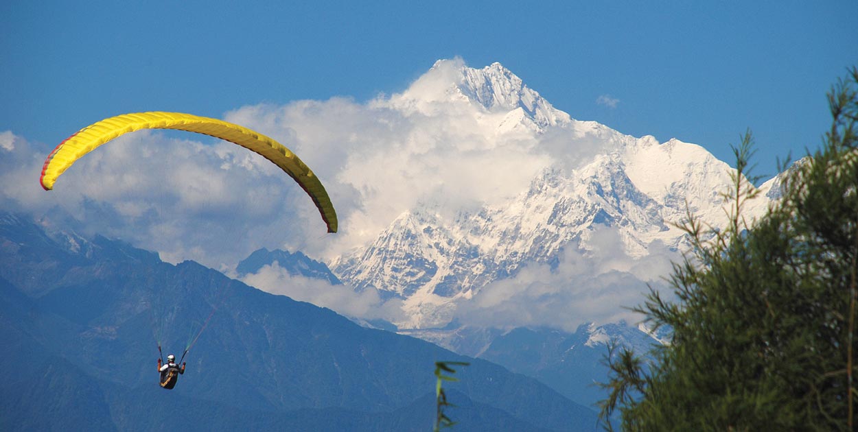
- 8,000m Kanchenjunga provides a stunning backdrop
- Best time is October and November, and February and March
- Unique cultural and travel experience
WHY GO?
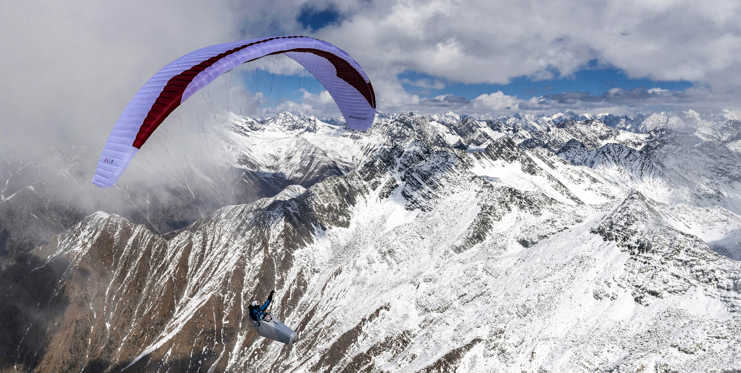
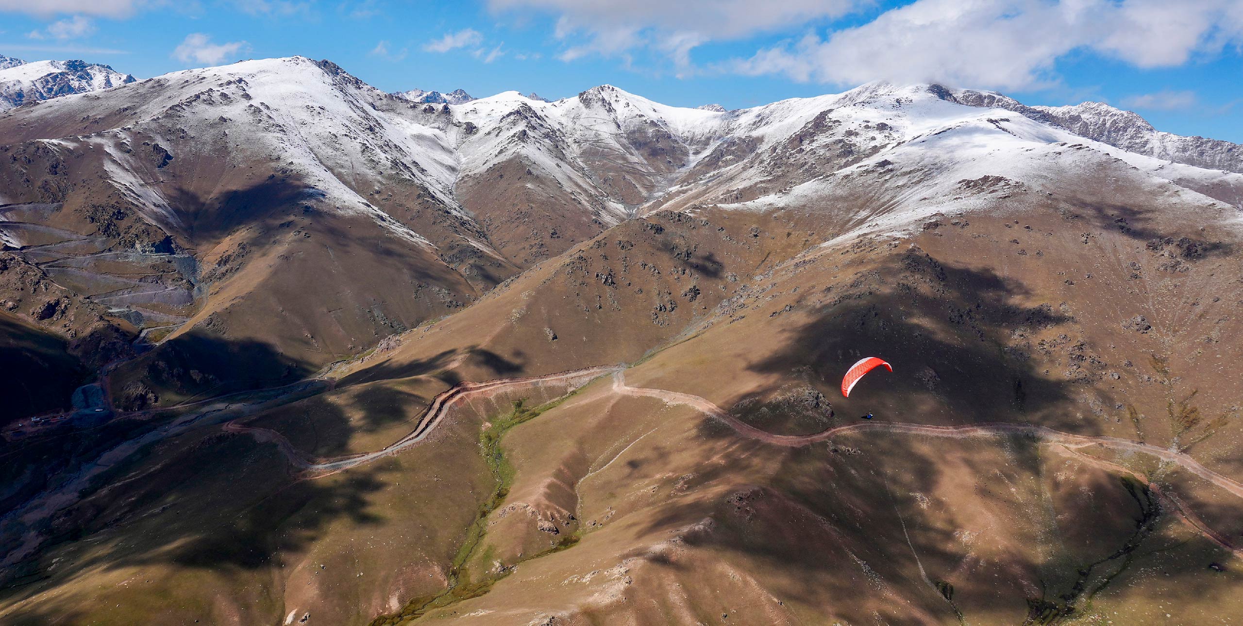
Fly the eastern Himalaya close to the borders of Tibet, Nepal and Bhutan with the stunning backdrop of the world’s third highest mountain, Kanchenjunga, seemingly in touching distance.
WHERE IS IT?
WHAT’S IT LIKE?
Gangtok is the capital of Sikkim, one of India’s tiniest states and until 1975 an independent kingdom. Getting there involves a lot of overland travel, unless you helicopter in from the plains of India on the state-sponsored helicopter on one of its two trips a day.
The flying is only just being developed – the state government has sponsored rafting guides to retrain as tandem pilots as hydropower schemes sadly switch off the rapids.
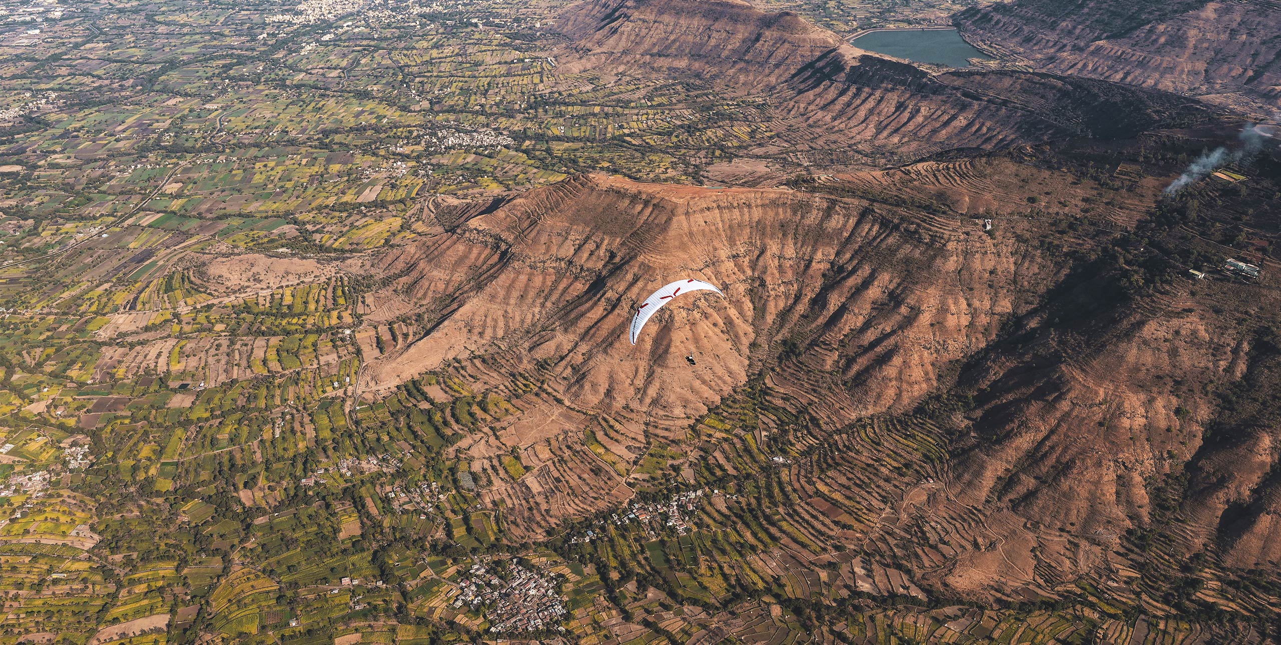
The draw for visiting pilots is its remoteness – there are travel and visa restrictions on travel in Sikkim – and the closeness to the Greater Himalaya. Everywhere you look is simply stunning.
[youtube id=”fVoEJOUBRl8″ w=”602″]
The main flying site, Bulbuley, has enough room for two or three to launch at a time and is 45 minutes from town, accessible by jeep. Take off and fly the hills and the town of Gangtok itself: soaring above the hotels and steep streets or thermalling above the forested hills and fluttering flags of Buddhist monasteries.
Landing is at a sports field well below the town or on one of the many small cultivated terraces – flat ground is at a premium in this rugged, mountainous state.
FLYING CONDITIONS
Bulbuley launch is at 1,800m, with landing about 700m below. The southerly-facing hills around Gangtok form a horseshoe ridge rising to 2,500m and this is the main flying arena.
Outside this zone you will be flying into tricky territory: 30km east is the Tibet border, Bhutan is similarly close, west is Kanchenjunga national park which is closed to trekkers unless they have permits and a guide, and then there is the Nepal border.
It’s a fascinating region because of all this, but tricky to travel through without the right permits; you could risk jail. Thermals in autumn are light and smooth with cloudbase to 3,000m and more. Flying in spring will be stronger with higher base.
Other flying sites in Sikkim include Joretang and in nearby West Bengal there is flying near Kalimpong.
WHEN TO GO
October/November and February/March.
ALTITUDE
Take-off: 1,800m
Landing: 1,100m
Cloudbase: 3,500m to very high given the right day.
HANG GLIDER ACCESS
Difficult but not impossible. Take-off would be ok, but landing anywhere but the official landing field would be difficult.
MUST BE FLOWN
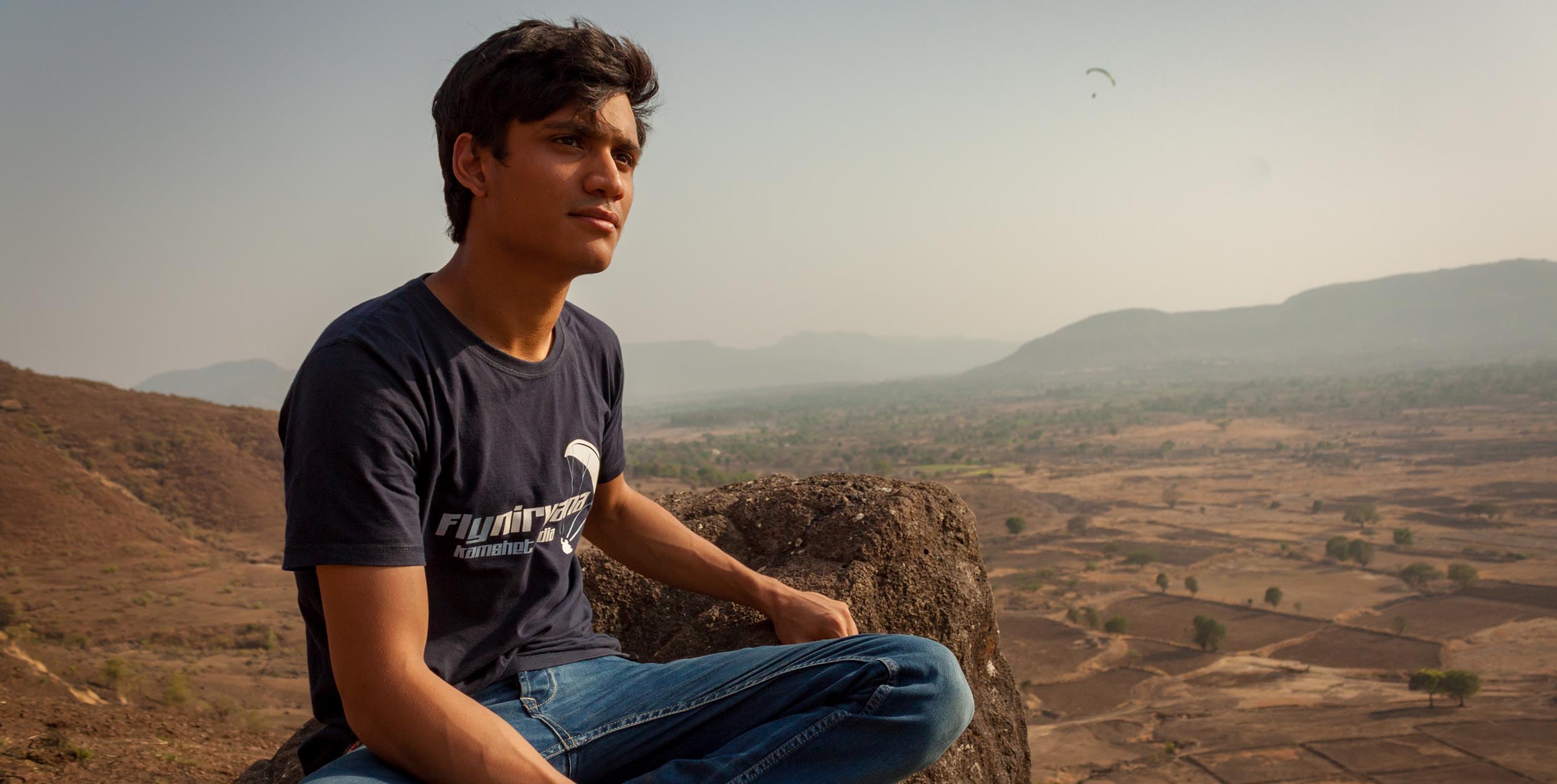
The tour of the valley with the mighty Kanchenjunga behind. Dare yourself to fly XC to Tibet and back, but don’t tell anyone official you’ve done it. Arrange to go para-trekking or site-hopping through the local pilots at Sikkim Paragliding, they will jump at the chance.
WATCH OUT FOR
Helicopters: the town helipad is across the valley but in front of the take-off. They have an approach circuit but you need to watch them. Border guards.
ACCOMMODATION
Lots of budget accommodation in Gangtok, with plenty of Lonely Planet-type places to stay.
TAKE THE FAMILY AND RAINY DAYS
India is an endlessly fascinating place for travellers and Sikkim is no different. Gangtok is a regional tourism base and has plenty to offer, including a zoo full of Himalayan flora and fauna, lots of trekking possibilities, monasteries and day trips to the border with Tibet.
WEATHER INFO
Look out of the window. The view is best early morning, before cloud builds up on Kanchenjunga.
GETTING THERE
Bagdogra in West Bengal is the closest airport. From there you’ll need to bus it or arrange a jeep. The trip from Bagdogra to Gangtok can take four to eight hours, depending on traffic. The roads are poor.
CONTACTS
Raju Rai of Sikkim Paragliding on Facebook
• Got news? Send it to us at news@xccontent.local
Buy and sell gear on Skyads.aero